Above the villages, above the terraces and the sanctuaries, a red-marked path runs the length of the ridge from Portovenere to Levanto, through holm oak and pine with the sea on one side and the marble peaks of the Apuan Alps on the other. Free, quiet, and almost nobody on it.
Down on the coast, three million people a year queue for the same few kilometres of path. Five hundred metres higher, on the Alta Via delle Cinque Terre, you can walk all day and meet a dozen.
The Alta Via follows the watershed between the sea and the Vara valley for about 35 kilometres, from the castle above Portovenere to the beach at Levanto. It is an old route of shepherds and charcoal burners, now waymarked in red and white, and it links the tops of the paths that climb from every village and sanctuary. You can drop off it to a village at almost any point, which makes it easy to walk in day sections and sleep by the sea.
Compared with the coast path it is less dramatic close up, more about forest, ridge and sky, but the views are bigger: the whole curve of the Ligurian coast, the Gulf of La Spezia and its islands, and on clear winter days Corsica on the horizon.
The full route climbs about 1,400 metres in total and takes two or three days with nights in the villages; strong trail runners do it in one. Day sections are moderate to demanding, mostly because of the climb up from the sea and the steep descents back down. There is no water on the ridge.
Most people walk one of these as a day out, coming down to a village for the train home.
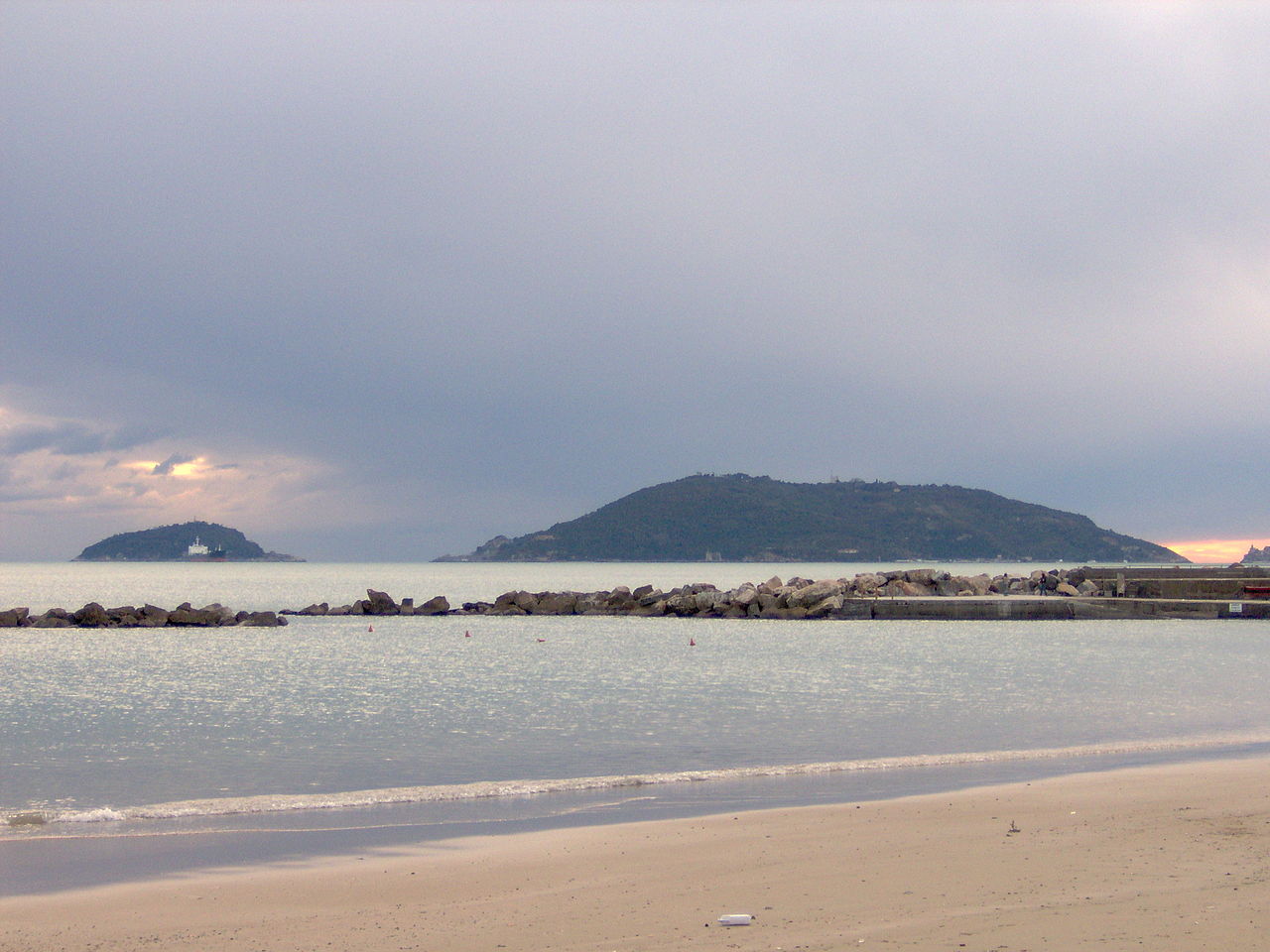
The classic day. From Portovenere's harbour the path climbs hard from sea level in the first hour, past the Doria castle and up through pines with the islands of Palmaria and Tino below, to the hamlet of Campiglia on the ridge with views over the Gulf of La Spezia. It continues along the crest to the Colle del Telegrafo, a pass where several paths meet, then drops past the sanctuary of Montenero, with the whole coast at its feet, into Riomaggiore.
The quietest stretch, along the forested ridge above Manarola, Corniglia and Vernazza, past the junctions for Volastra, San Bernardino and Reggio. It is best combined with one of the sanctuary paths to get up and down: climb from Riomaggiore or Manarola, walk the ridge north and descend through Soviore to Monterosso.
The shortest section and the one with the best payoff for the effort: a climb onto the great headland that closes the Cinque Terre to the north, a ruined hermitage, and all five villages lined up behind you. Described in detail below.
Trail 591 from Monterosso to Levanto, signed from the west end of the Fegina beach.
Approximate profile.
From Monterosso's station walk to the west end of the Fegina beach, past the 14-metre concrete Giant on the rocks, and take the steps up beside the hotels. The climb starts at once, steep and stepped, through pines and maquis.
The path zigzags up the flank of the headland, with Monterosso and its beach shrinking below. Pause at the bends: each one adds another village to the view, until Vernazza, Corniglia, Manarola and Riomaggiore are lined up along the coast to the south.
On the top of Punta Mesco stand the ruins of the Romanesque hermitage of Sant'Antonio del Mesco, once a lookout and signal station as well as a chapel. The view takes in the whole Cinque Terre, the Gulf of La Spezia and, on clear days, the Apuan Alps. This is the turning point and the picnic spot.
The path continues along the ridge through pine woods, then descends steadily towards Levanto, with its long sandy beach opening below. It ends near the medieval castle; the station is a 15-minute walk through town, four minutes by train from Monterosso.


Portovenere is 30 minutes by bus from La Spezia or by hop-on boat from the villages. Riomaggiore, Monterosso and Levanto are all on the coastal railway, so any section can end at a station.
Carry everything: there is no water on the ridge. The sanctuary of Soviore has a bar, and there is usually something open near the Colle del Telegrafo in season; otherwise there are no refreshments on the high route, and hours are uncertain outside summer.
The path is waymarked but junctions with village paths are many; check the trail number at each. Paths close after weather alerts and summer fire-risk decrees can restrict access. Emergency number 112.
Day one Portovenere to Riomaggiore; day two Riomaggiore back up to the ridge and along to Soviore and Monterosso; day three over Punta Mesco to Levanto and on along the railway path to Bonassola. Sleep in the villages each night.
The coastal Blue Path from Monterosso to Vernazza and Corniglia.
Manarola to Volastra to Corniglia, through the terraces and the heart of the wine country.
Five pilgrim paths, one up from each village, to churches with the coast at their feet.
The flat, paved Lovers' Way cut into the cliff between Riomaggiore and Manarola.
A three-hour walk round the island facing Portovenere, with a swim at Pozzale.
The old coastal railway through tunnels with windows on the sea.
Wikimedia Commons photographs are used under their Creative Commons licences; Pexels photographs under the Pexels licence. Click a title for the original, its author and licence.