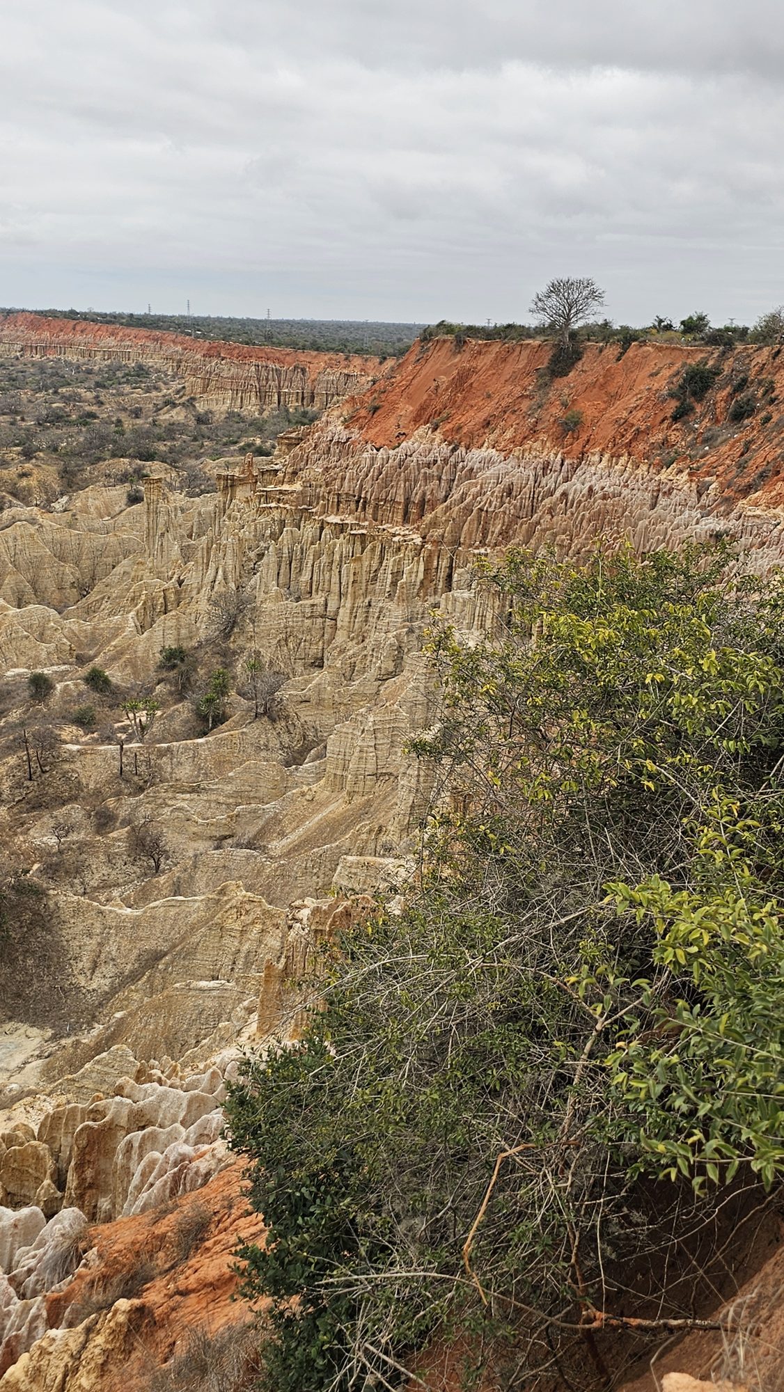
Where the coast road south of Luanda runs along a cliff edge, the land falls away into a moonscape of fluted sandstone ridges and spires in red, ochre and cream, carved by rain and wind and running down to the Atlantic.
The name means "viewpoint of the moon", and it fits: a cliff of soft layered sediment has been eaten away into a badland of gullies and needles that looks like nowhere else on the Angolan coast.
The viewpoint lies about 40 km south of Luanda on the main coast road towards Cabo Ledo, reached by car with a driver or an operator. From the roadside, a few minutes' walk along the rim looks down into the eroded sandstone gullies and spires, with the sea beyond. There are no paths into the formations and the rock crumbles, so stay on the lip.
The site closed in April 2026 for about six months of stabilisation work, so confirm it has reopened before you go. Come before nine or after four, when the shadows give the ridges their depth.
Easily combined with Kissama or the beaches further south.
Leave early to beat the traffic, heading south past Benfica on the coast road.
Pull in at the signed viewpoint on the seaward side of the road.
Walk a few minutes along the edge for different angles on the ridges and spires.
Watch the low sun pick out the bands of red, ochre and cream in the eroded walls.
Continue south to the Kwanza and Kissama, or back to Luanda for lunch.
.jpg?width=1280)


Hire a car with driver or join an operator's day trip; there is no reliable public transport to the viewpoint.
Ask your driver or hotel whether the stabilisation works have finished and the viewing area is open.
Wikimedia Commons photographs are used under their licences.